
Residents can soon explore the final flood maps for some of the Burnett River catchment’s most significant historical flood events, as the Burnett River and Tributaries Catchment Flood Study enters its final phase.
The study has been developed to provide the most up-to-date understanding of flood behaviour across one of Queensland’s largest river systems.
The maps, which show how flooding occurred during the major flood events of 2010, 2013 and 2022, are now available for the community to view ahead of the study’s completion in October.
The study has involved councils from across five local government areas, including Bundaberg Regional Council.
Using the latest modelling technology, improved data and local knowledge from these communities, the flood maps produced through the study will help guide future flood risk management, emergency response planning, land-use planning and infrastructure design.
As part of the study’s final phase residents can attend a session to see how their feedback, gathered during earlier consultation, has been used to refine the flood models and improve the accuracy of the final flood mapping of historical events.
March 2026 flood event
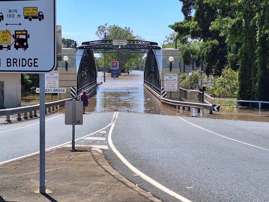
The study has also been strengthened by the significant March 2026 flood event, which provided project engineers with a unique opportunity to review the models against the most recent flood.
Following the event, additional rainfall, river level and observed flood extent data were incorporated into the study before the models were validated against the flooding that occurred across the catchment.
The results demonstrated strong consistency between the modelled and observed flood behaviour, providing a high level of confidence that the flood models accurately represent flooding throughout the Burnett River catchment.
Final phase of flood study
Mayor Helen Blackburn said reaching the final phase of the study was an important milestone for both Bundaberg Regional Council and the community.
“These flood maps represent years of work, bringing together the latest science with the lived experiences of our communities to create the clearest picture yet of how flooding behaves across the Burnett River catchment,” she said.
“The additional validation following the March 2026 flood has given us even greater confidence in the study, ensuring this information can be relied upon to help inform future planning and flood preparedness across our region.
“The feedback and knowledge received from residents was critical in refining the flood maps and now this is the community’s opportunity to see the end result.”
For those wishing to view the flood maps, an open community session will be held:
When: Thursday 3 September 2026, 7.30 am to 2 pm
Where: Civic Centre Supper Room, 190 Bourbong Street, Bundaberg.
Alternatively, you can view the flood maps from 24 August on the dedicated Burnett River and Tributaries Catchment Flood Study webpage at https://anz.planengage.com/burnettriver