

Bundaberg Regional Council is asking residents from Bundaberg North through to Paradise Dam to assist in recording flood levels following the recent river peak.
Council survey teams are currently unable to access a number of isolated locations to document flood heights.
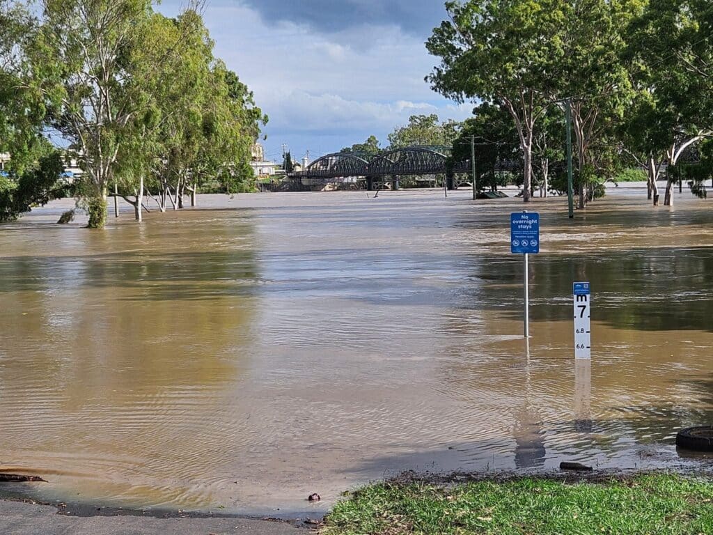
Council is asking anyone who can do so safely to take photos of the highest observed flood height in their area and provide any imagery or anecdotal evidence of water levels during the flood event.
If possible residents should place a marker such as a stick at the water height location and photograph it, indicating the date and time the flood water reached that level.
These images will help provide important interim records until surveyors can enter the region and take official measurements.
Local Disaster Management Group Chair Mayor Helen Blackburn said the information would play an important role in documenting the flood event.
“This flood data is critical for understanding the scale of the event and helps inform future planning, disaster response and recovery efforts,” Mayor Blackburn said.
“However, we remind residents not to take any risks and never enter floodwaters – they can be contaminated and dangerous.”
Residents can email their photos to floodlevels@bundaberg.qld.gov.au.
Council thanks the community for its support and will continue to provide updates as flood recovery progresses.
More news:


Helen blackburn and team are doing a magnificent job 👏 🙌 👌 👍